
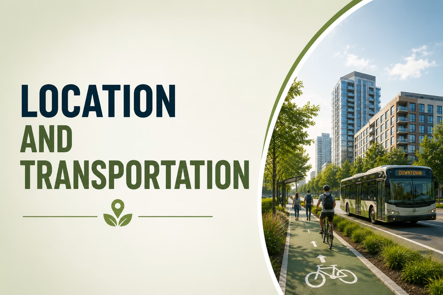
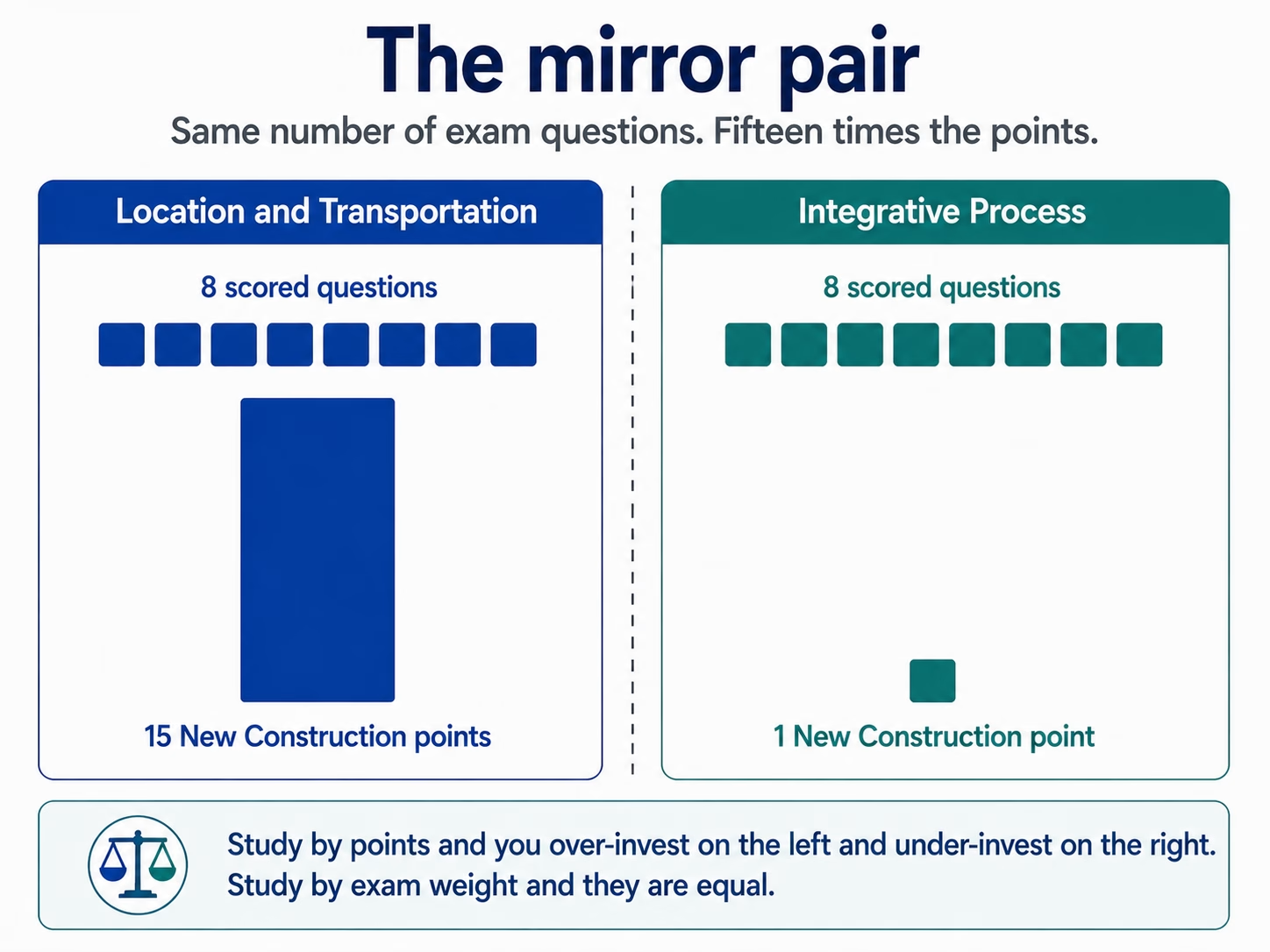
Location and Transportation is 7 of the 100 questions on the LEED Green Associate exam. It covers concepts related to location efficiency, transportation, connectivity, access and low-carbon mobility. That single choice determines how much the building’s occupants will drive for the next fifty years, and no amount of clever engineering afterwards can undo it.
This is also the domain LEED v5 shifted most. Equity and access are no longer a footnote to the transport argument — they are part of it. If you are revising from material written for LEED v4, this is where you will find the gap.
Why location is treated as a design decision
A highly efficient building in the wrong place can generate more carbon than an ordinary building in the right one, because the emissions from everyone driving to it swamp the savings from its systems. LEED treats siting as the first and largest energy decision a project makes, which is why this domain sits at the front of the rating system rather than among the site details.
Smart location: building where the infrastructure already is
Development density is a measure of building floor area or dwelling units per unit of land area. Density is not an end in itself — it earns its place because it supports transit, services, walkability and efficient infrastructure. One qualification the exam likes: density must come with open space, comfort, safety and inclusion. Density without those things is just crowding.
Location efficiency is how a site’s location affects travel behaviour and the emissions that follow from it. A location-efficient site reduces driving through where it is, not through what is installed in it.
Mixed-use areas put a variety of building and space types within walking distance — homes, work, shops, services. When daily needs are reachable on foot, trips disappear rather than being made more efficiently.
Put those three together and you get the outcome LEED is aiming at: compact, connected, mixed-use sites that cut Vehicle Miles Traveled.
Equitable development
Good locations should benefit everyone, and LEED v5 says so explicitly.
Affordable housing means units set aside for lower-income households, ideally near transit and employment. Disadvantaged communities are groups historically denied fair access to those advantages. Supporting the local economy — local businesses, equitable construction practices — keeps the benefit of development in the place being developed.
The tension worth understanding, because it is the kind of thing scenario questions are built on: location-efficient areas become expensive precisely because they are desirable. Improving a neighbourhood can price out the people who already live there. Planning has to guard against displacement, or the sustainability gain arrives at someone else’s cost.
The mobility hierarchy
Learn this as an order, because that is how it is tested.
1.Reduce trip distances and vehicle dependence. Compact, connected and mixed-use development can reduce travel distances and reliance on private vehicles.
2.Active transportation. Support walking, wheeling and bicycling.
3.Transit and shared mobility. Support public transit and appropriate shared-mobility options.
4.Manage transportation demand. Strategies such as parking management and commuting programs can reduce single-occupancy vehicle travel.
5.Low-carbon vehicles. EV readiness and other low-carbon vehicle strategies can reduce emissions from trips that still occur.
The trap is an answer option offering electric vehicle charging as the strongest strategy. It is not. EV readiness is one part of a broader low-carbon transportation strategy. LEED v5 also emphasizes location efficiency, transportation demand management, public transit, active transportation and equitable access to mobility. The appropriate strategy depends on the project’s location, transportation patterns and applicable LEED requirements.
Transportation demand management
Transportation demand management (TDM) is a set of strategies that influence travel behavior, mode choice and transportation demand. Strategies can include public-transit programs, carpooling or shared mobility, parking management, telework or flexible work arrangements, and measures that make walking and bicycling more practical.
Vehicle Miles Traveled (VMT) measures the total distance traveled by vehicles within a defined population, project, area or time period. Reducing VMT can reduce transportation energy use, emissions and dependence on private vehicles.
Transit and active transportation
Transit access covers buses, bus rapid transit, metro, rail and shuttles. It reduces car dependence and improves equity at the same time, because not everyone can drive or afford to.
Active transportation is human-powered mobility — biking, walking and wheeling. It only happens if the design supports it: safe pavements, safe crossings, bike lanes, secure cycle storage, and showers for people who arrive having worked up a sweat. A bike rack alone is not a strategy.
Protecting land: build on the right land, protect the rest
An ecosystem is a community of interacting organisms together with their physical environment. Ecosystem services are the direct and indirect benefits those ecosystems provide to people — clean air and water, cooling, flood control. The term matters because it reframes nature as infrastructure: a wetland that manages floodwater is doing a job that would otherwise need building and paying for.
An environmentally sensitive area is a place needing protection because of its ecological value or its vulnerability. Sensitive land protection means avoiding development on wetlands, floodplains, prime farmland and key habitat, and preferring previously developed land and infill instead. That relieves pressure on greenfield land, protects ecosystem services, and usually reduces climate risk.
Brownfields and sensitive receptors
A brownfield is previously developed land whose reuse may be complicated by contamination. Remediation is cleaning it up so it can be used again. Reusing a brownfield does three things at once: it takes development pressure off undamaged land, it uses infrastructure that already exists, and it repairs a site that was harming its surroundings.
Sensitive receptors are the other side of the same coin — places where occupants are more susceptible to pollution, such as schools, childcare centres and hospitals. The principle is straightforward: keep sensitive receptors away from highways and industrial pollution sources. Children and patients should not be sited downwind of the things adults tolerate.
Key terms to memorise
| Term | Definition the exam expects |
| Development density | Building floor area or dwelling units per unit of land area |
| Location efficiency | How a site’s location affects travel behaviour and the emissions that result |
| Mixed-use area | A variety of building and space types within walking distance |
| Vehicle Miles Traveled (VMT) | The annual miles driven by a project’s people. Lower is better |
| Alternative transportation | Any mode other than the single-passenger car |
| Transportation demand management | Strategies that reduce single-occupancy vehicle travel |
| Active transportation | Human-powered mobility — walking, wheeling, biking |
| Ecosystem | A community of interacting organisms and their physical environment |
| Ecosystem services | The direct and indirect benefits ecosystems provide to people |
| Environmentally sensitive area | A place needing protection for its ecological value or vulnerability |
| Brownfield | Previously developed land whose reuse may be complicated by contamination |
| Remediation | Cleaning up contaminated land so it can be reused |
| Sensitive receptor | A place whose occupants are more susceptible to pollution, such as a school or hospital |
| Affordable housing | Units set aside for lower-income households, ideally near transit and jobs |
Synergies to recognise
- Location and carbon. Less driving cuts transportation carbon and improves local air quality in the same move.
- Location and health and equity. Walkable, transit-rich places improve health, access and affordability together — the clearest case in the rating system of one decision serving three goals.
- Infill and ecology. Building on previously developed land protects ecosystems and reduces sprawl without any ecological work on the site itself.
- Brownfield reuse and regeneration. Remediation is the rare strategy that leaves the site better than it was found, rather than merely less damaged.
- Active transportation and Indoor Environmental Quality. Showers and cycle storage are a mobility strategy delivered through the building’s interior.
Where candidates lose marks
- Choosing EV charging as the strongest strategy. It is fifth in the hierarchy. Reducing trips is first.
- Confusing density with location efficiency. Density is a measurement of how much is built per unit of land. Location efficiency is about the travel behaviour a location produces.
- Forgetting the equity half of the domain. Under LEED v5 affordable housing, disadvantaged communities and displacement are examinable content, not context.
- Missing that brownfield reuse is preferred, not merely permitted. LEED actively rewards it.
- Mixing up sensitive land and sensitive receptors. Sensitive land is ecologically valuable or vulnerable ground. Sensitive receptors are populations more vulnerable to pollution.
- Treating more parking as neutral. Parking supply generates driving. Reducing it is a strategy in its own right.
Revision checklist
1.You are ready on this domain when you can, without looking:
2.Explain how location can influence transportation patterns, energy use and carbon emissions.
3.Define development density, location efficiency and mixed-use, and say how they differ.
4.Explain how location efficiency, active transportation, public transit, transportation demand management and low-carbon transportation strategies can reduce reliance on single-occupancy vehicles.
5.Say what VMT stands for, what it measures, and which direction is good.
6.Name four transportation demand management strategies.
7.Explain what active transportation needs from a design in order to actually happen.
8.Define ecosystem services and give three examples.
9.List the land types LEED steers development away from.
10.Define a brownfield and give three reasons reusing one is rewarded.
11.Define a sensitive receptor and give two examples.
12.Explain the displacement risk in location-efficient neighbourhoods.
13.State where EV charging sits in the hierarchy and why.
Test yourself
Reading is not revision. Work through our Location and Transportation practice questions, then sit the 50-question mock exam under time. These are 3FOLD Training practice resources, not the official USGBC exam.
Frequently asked questions
How many Location and Transportation questions are on the LEED Green Associate exam?
Location and Transportation is listed as 7 questions in the current Green Associate exam knowledge-domain distribution. The exam itself contains 100 multiple-choice questions.
What does VMT stand for?
Vehicle Miles Traveled (VMT) measures the total distance traveled by vehicles within a defined population, project, area or time period. Reducing VMT can help reduce transportation-related energy use and emissions.
Is providing EV charging the best transport strategy under LEED?
No. It is the last step in the mobility hierarchy. Reducing the need to travel through compact, mixed-use location is the strongest strategy; EV charging cleans up the trips that remain.
What is a brownfield, and why does LEED reward reusing one?
A brownfield is previously developed land whose reuse may be complicated by contamination. Reusing it takes pressure off undeveloped land, uses infrastructure that already exists, and repairs a damaged site.
Learning this properly
3FOLD TRAINING teaches location, density, mobility and land protection as a full module in LEED Green Associate training, written to LEED v5. Ask us through the course enquiry form.



Leave a reply